2013 Conondale Great Walk Run
Pete organised this initiative, of running the QLD Great Walks. This is the first of hopefully many:
Garmin Details:
Full Story (Words from Pete - Virtual Nomad):
Overall: 58 km - Elevations: Up 2.1km / Down 2.1km / Min 242 m / Max 892 m
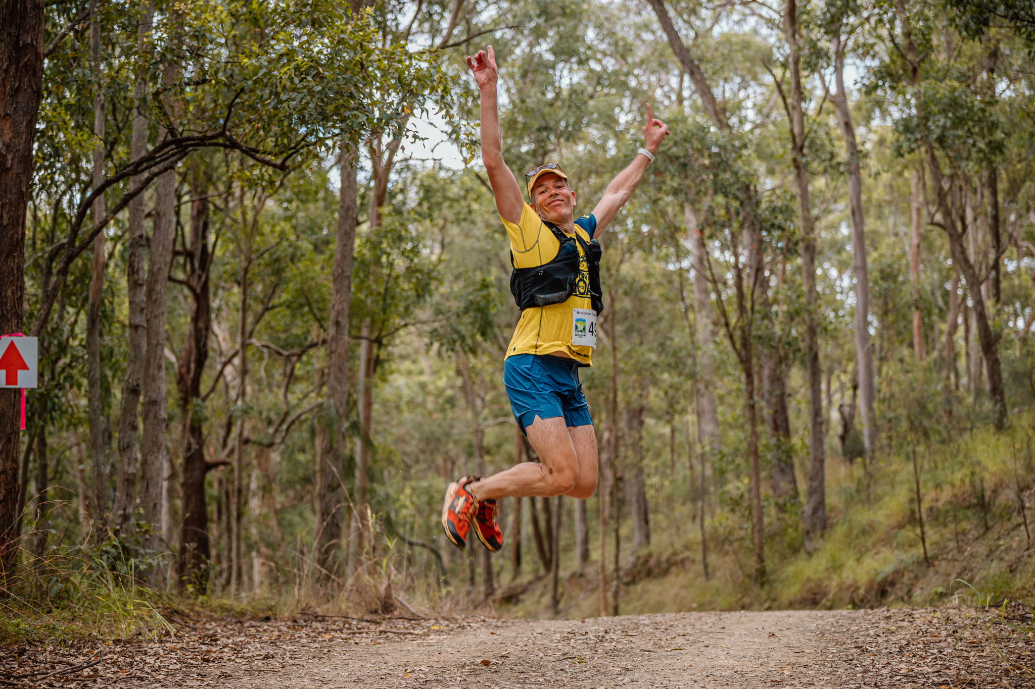
I have been wanting to run (call it a super fast hike really – walk ups, run flats and downs) the great walks as a project and reason to keep fit, challenge one’s self and see the beauty of our national parks. So I roped a mate of mine (Jon) into accompanying me and along with my sister’s family to support us along the way. I have to say the Conondale Range did not disappoint. Our decision to do the trail in the opposite direction to the traditional 4 day hike allowed us to tackle the steep climb of Mnt Allan while fresh. Furthermore it turned out the Mnt Allan - Summer Falls section was the highlight, so doing it fresh allowed us to enjoy it more than it being the final stage when you just want to finish.
Stage 1: Booloumba Creek to Summer Falls
Distance: 20km - Up 884 m / Down 538 m
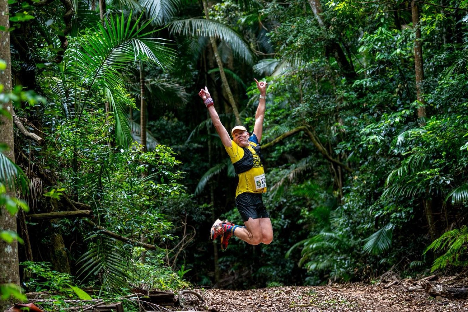
While it is always easier to enjoy a trail when you are fresh and experiencing that glorious time of sunrise, this would have to be the most beautiful and rewarding section of the great walk. Clear single tracks, non-technical trails that despite the elevation gain are made relatively easy given the use of switch backs up Mnt Allan. The trails surface is great to run on with that wonderful leafy softness. We took the off shoot to the Mt Allan fire tower which was closed for maintenance and without being able to climb the tower there are little to no views, but given how fresh we were the additional 1.4km didn't bother us. Once over Mnt Allan the trail takes you through undulating terrain passing through tropical rain forest and grassy eucalypt sections before heading back into the dense rainforest surrounding Summer Falls. The falls are without doubt a reward and while not in full flood still managed to impress. Breaking out of the forest you look down the rocky cascades and into the deep rock ravine of Summer Creek. The camp ground here is also beautiful nestled in amongst the rainforest with each site secluded from each other.
Emergency Notes: The only mobile reception we got was with Telstra (no Optus) around the summit of Mnt Allan. There are 4 exit points (although gated); Mnt Allan Fire Tower, Summer Creek Road and the Summer Creek Fire Management Trail intersects twice. All appeared to be decent tracks at the crossing points.
Stage 2: Summers Falls to Tallowwood
Distance: 10.3 km - Up 546 m / Down 382 m
The first section of Stage 2 continued with the clear single track trails as we started to move into the areas I assume were the areas logged up till early 1900's, with a large numbers of large mossy stumps and fallen trees in amongst the rain forest. While still predominantly a climb the overall gradient was very manageable. The morning seemed to have flown as we met with our support crew at the summer creek road intersection for a quick chat, water refill and a couple of kiwi fruit. Around 4kms on we had our second reprieve as we descended past a tranquil waterhole on a branch of Peters Creek and decided it was time for a dip. While cold it was highly refreshing and very therapeutic for the feet and legs that seemed to have got a lot heavier over the last 5km.
From the water hole the stage seemed to take on a different feel as we made the climb up to Tallowwood camp site. The trail opened up to wider fire trail sections and with the heat of the morning settling in things seemed dryer and less tranquil. Along our climb up we stopped at Peters Falls, which I must be honest I don’t fully remember (the picture looks great and would probably be impressive in flood). I guess these were all the signs the mental challenge was starting to play a part. On our climb also saw our first snake sighting with a small feisty little fellow. Can’t say I know what type of snake it was but we respectfully gave it a wide berth.
We reached Tallowwood camp at around 11am and while a relatively clean and tidy site the grounds were not a patch on Summer Falls. The morning heat was now in full swing and after five and half hours the colour of my first wiz was a real wake up call. Reminding me of how easy it was to fall into the trap on not getting enough fluid when running in the cool rainforests during the morning.
Emergency Notes: The only mobile reception I was aware of was Telstra for a short section around 4km from the Summer Creek Road intersection. There are only 2 exit points on this stage; the first the continuation of Summer Creek Fire Management Trail which also cut stage one and the second Summer Creek Road
Stage 3: Tallowwood to Wongai
Distance: 16.2 km - Up 497 m / Down 619 m
We were now half way and we were starting to feel the mental and physical fatigue setting in, but we ensured we kept our spirits high. While I realise these effects can damped ones spirits this stage was certainly not anything remarkable. The trails were mostly made up of fire trails with long stretches of ups and downs. While theoretically easier running, without the surrounding foliage it was hotter and more mundane. Fortunately after a continued climb from Tallowwood camp it was mostly downhill with a relatively shallow gradient. So in hindsight it was probably perfect given our physical and mental sates. You also need to know the mundane is also very beautiful.
For this section you need keep a keen eye on points at which the smaller trails lead off to the next fire trail section. I am sure if Jon wasn’t around I would have ended up somewhere out at Jimna or Kilcoy. The wildlife seemed more active with a number of Goanna’s and our second snake for the trip, a good old carpet python curled up on the track. While we didn’t see it we also got the closest to our chilling little friend the “crying baby bird”. If anyone can tell me what it is I would be very grateful. I was thinking lyre bird but this guys keeps high in the canopy, and I understood the lyre bird I generally ground based.
We made it to the Wongai camp around an hour behind our schedule and decide not to take a short offshoot to check it out. We were 1km from the next rendezvous point and they had been waiting for a while (not to mention at this stage any additional distance was happily avoided).
Emergency Notes: Both Telstra and Optus for most of the Mount Gerald Fire Trail section. There are a large number of exit points with majority of the trail being fire trails. These are; Geralds (Access West - Peters Fire Trail, East – South Goods Road), South Goods (Access South - South Goods rd, North – Booloumba Creek Rd), Tragedy Fire Trail (Access South - Booloumba Creek Rd, North – Booloumba Fire Management), Power Line Fire Management Trail.
Stage 4: Wongai to Booloumba Creek
Distance: 10 km - Up 208 m / Down 569 m
1km on from the Wongai camp we met up with our support crew where we refilled water and collected an additional runner for the last 10km stretch. From Wongi the trail had returned to a single track, passing through grassy sections until returning to the tranquil rainforest on our decent along the Booloumba Creek. Having a James along brought a bit of welcome relief as he was fully energised which helped lift spirits.
Trails were now back to their soft under foot tracks as they wound fairly steeply through rainforest with the occasional meeting with the creek. The Booloumba falls and the Breadknife are quite spectacular and if it wasn’t for the fact we were on the home stretch would have stopped longer for a swim under the falls. The section from the falls to the Artists Cascades was the steepest, which was fairly taxing on the knees after having covered 50km. The track then became more enjoyable levelling slightly, although playing with our weary minds by climbing up and away from the creek before returning down, a game which continued till we finally reached the end.
Our adventure was complete after 8hours and 20mins and close to 58km. We had completed the first of our great walk challenges. It was now back to camp, a cool down in the river before having our fill and recounting the trip around the camp fire.
Emergency Notes: No mobile reception along the entire section. The only exit point is the Booloumba Creek rd crossing.
Tips:
Stage Break Down:
Stage 1: Booloumba Creek to Summer Falls - 20km Gain 884 m Loss 538 m
Stage 2: Summers Falls to Tallowwood - 10.3 km Gain 546 m / Loss 382 m
Stage 3: Tallowwood to Wongai - 16.2 km Gain 497 m / Loss 619 m
Stage 4: Wongai to Booloumba Creek - 10 km Gain 208 m / Loss 569 m
Highlights:
Stage 1: Mnt Allan to Summer Falls section, Summer Falls and Campground
Stage 2: Meeting the support crew, Swim in Peters Creek water hole and our feisty little snake
Stage 3: Wildlife, Slow slopping downhill sections
Stage 4: Booloumba falls, Finishing
Emergency Notes:
Mobile Reception : Patchy at best, so if you have a support crew the challenge is both being in a reception area.
Exit Points : Most of the exit points are Fire Trails most of which are gated so if you need to get people in you would need to be in contact with rangers/police.
Emergency Numbers:
000 (or 112 in no/low mobile areas)
13 12 33 Non-urgent medical transport
07 5446 0220 Kenilworth Police


